Aerial photogrammetric, LiDAR, and multispectral surveys from ground and drone platforms
Technological advancements in three-dimensional surveys of anthropic features (such as buildings, artefacts, and archaeological excavations) and extensive territorial areas have significantly improved the resolution and accuracy of the resulting digital models, while simultaneously reducing acquisition time and costs.
Fixed-Wing and VTOL Drone Surveys
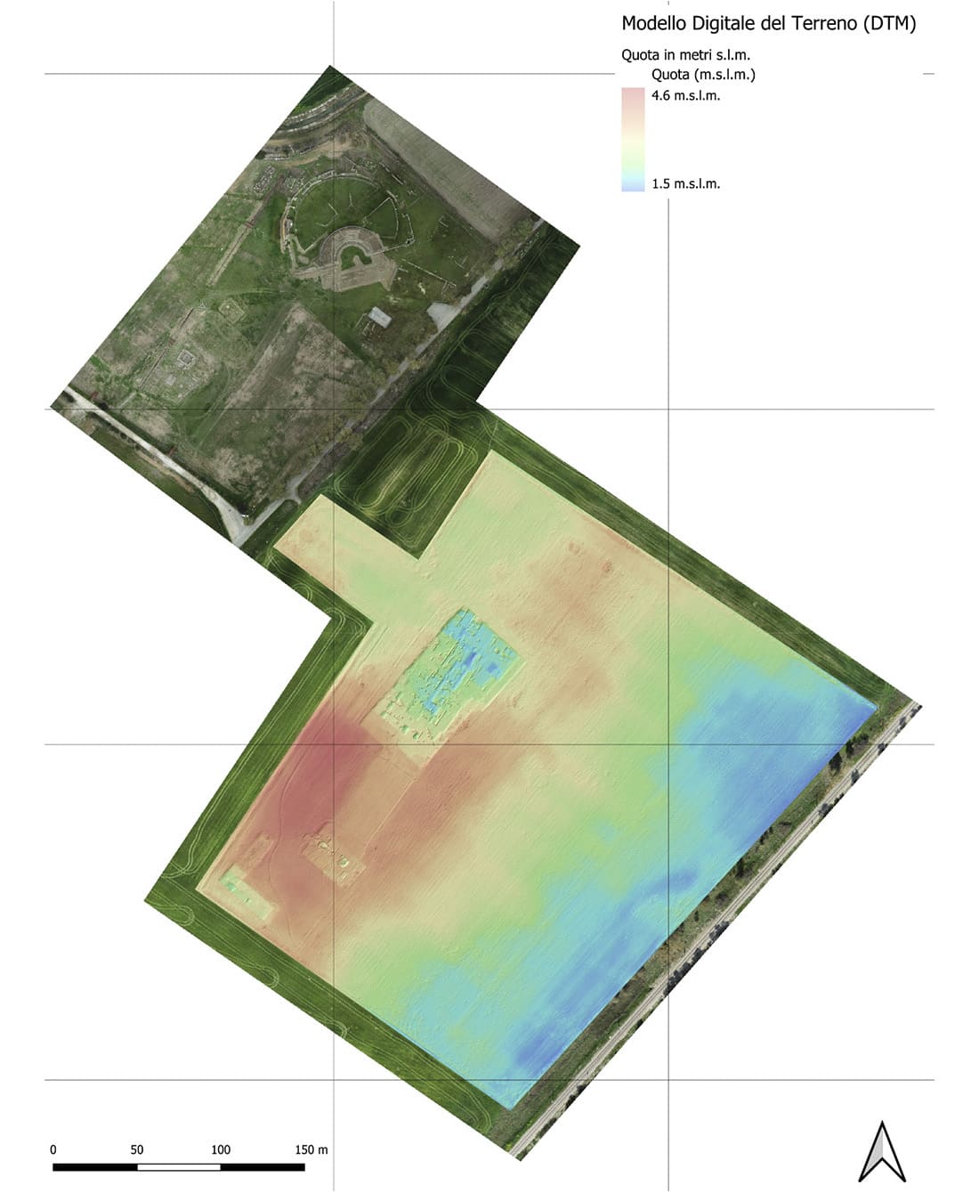
Using fixed-wing drones like the SenseFly eBee, we perform centimeter-resolution aerial photogrammetry over large areas — up to 150 ha/hour.
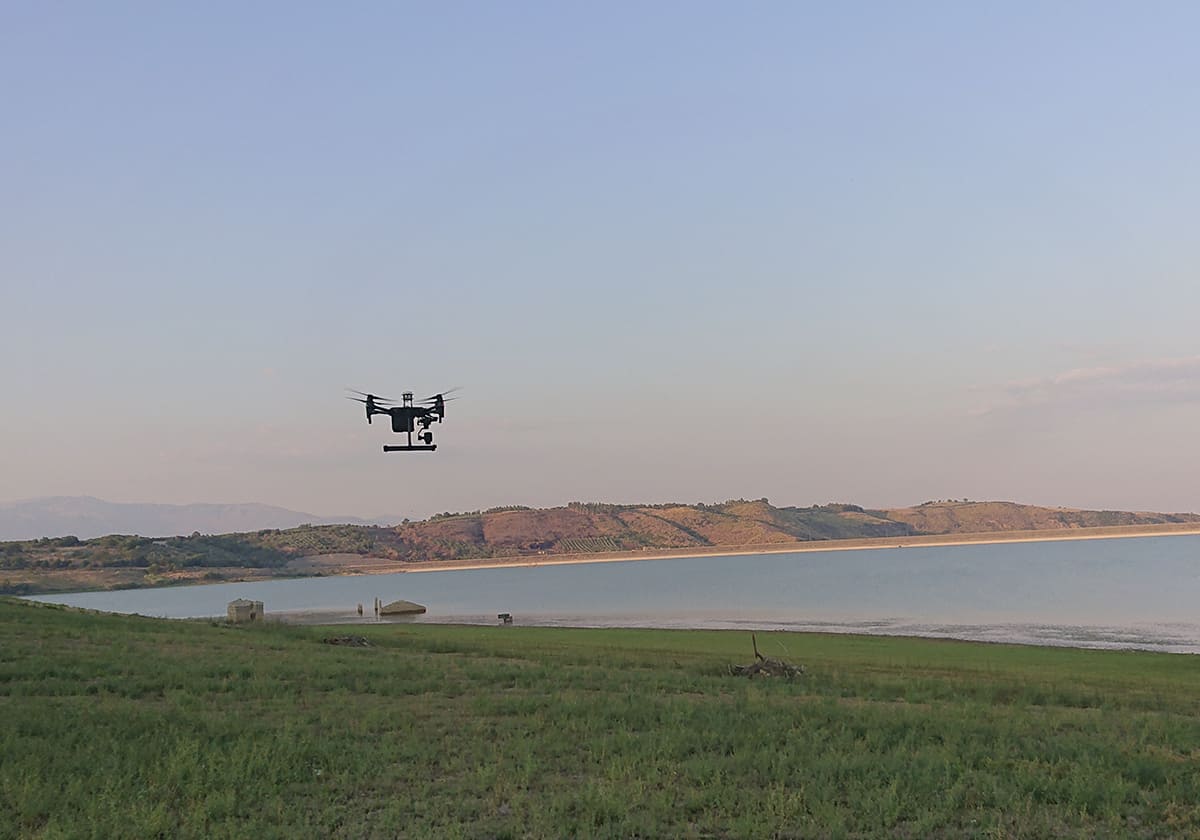
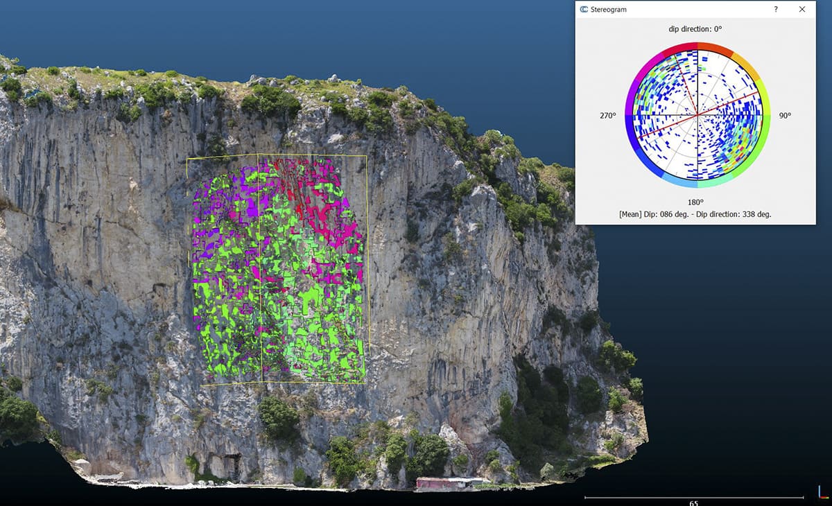
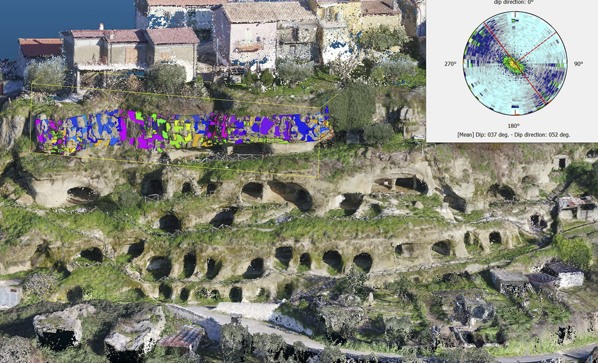
For more complex environments with rock walls, buildings, bridges or infrastructure, we employ vertical take-off drones (DJI M300) equipped with interchangeable sensors, including:
- Zenmuse P1 photogrammetric camera.
- LiDAR sensors (L1, L2).
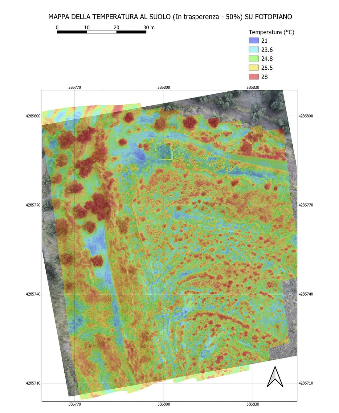
- NIR and thermal cameras.
Terrestrial Laser Scanning Integration
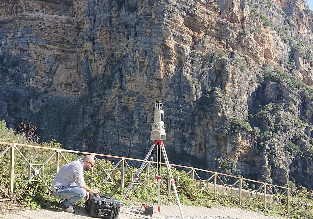
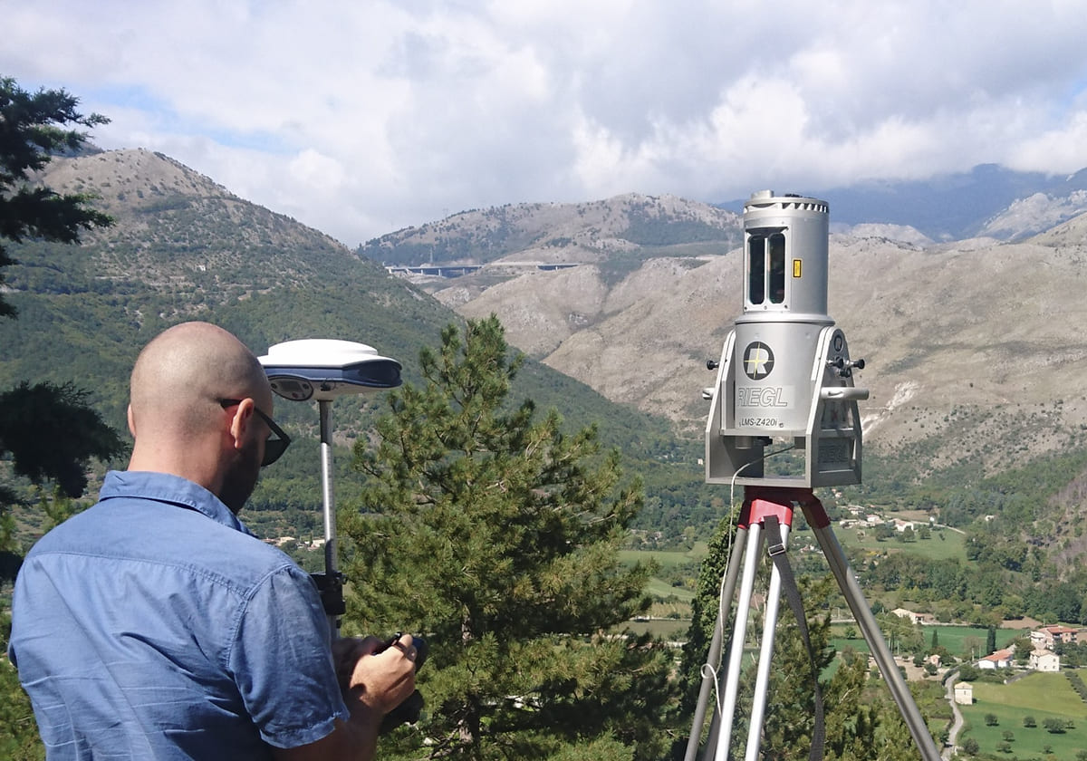
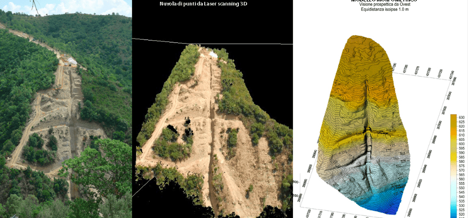
For predominantly vertical surfaces, we employ terrestrial laser scanning technologies. Our instruments allow us to perform high-quality surveys at distances exceeding 500 meters from the scanning points.
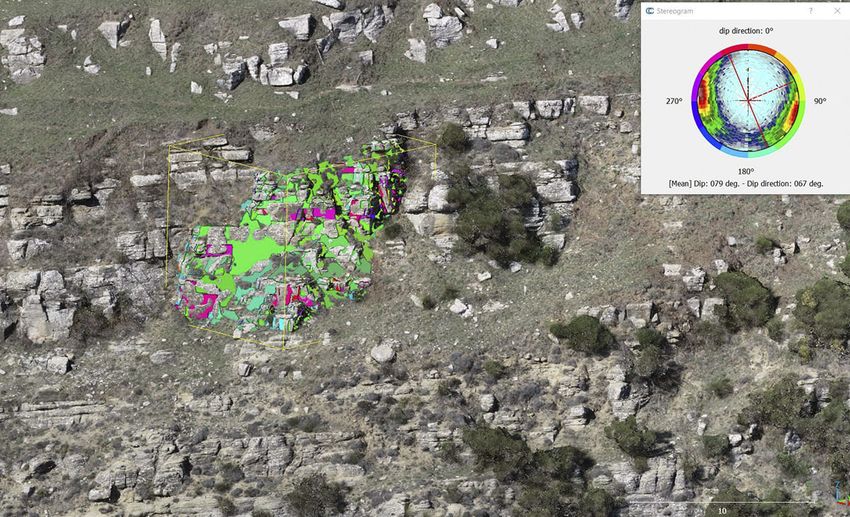
The integration of laser scanning and drone-based surveys enables the creation of accurate and optimized three-dimensional models, ideal for analysis, design, and technical documentation.
