Geoarchaeology and Archaeological Site Analysis
Research and analysis of archaeologically significant sites
Geoarchaeological investigations aim to identify sites with potential archaeological remains, assess the risk of damage from anthropogenic activities in areas of cultural value, and study the interactions between the environment and human development in the past.
Landscape analysis and the interpretation of inherited features provide essential data to identify areas of human occupation and to understand the connections between the environment and ancient communities.
This involves:
- aerial photography,
- cartographic and visual surveys,
- soil and ceramic material analysis.
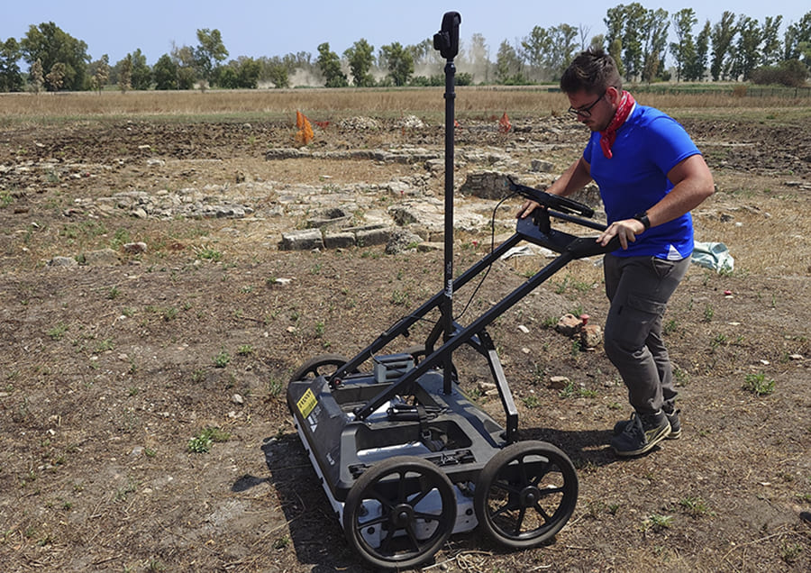
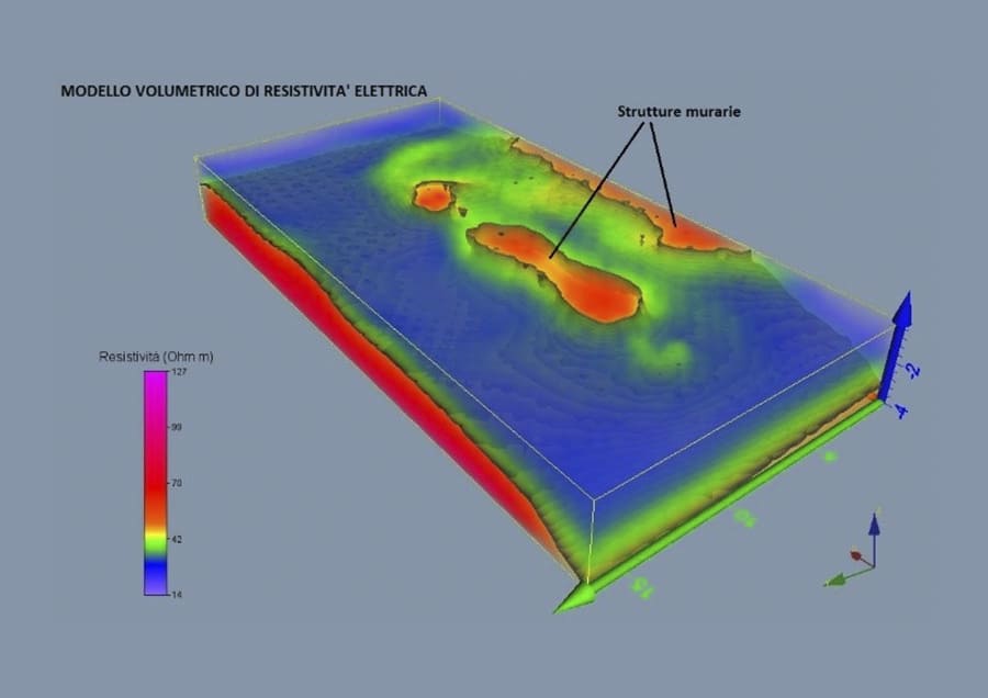
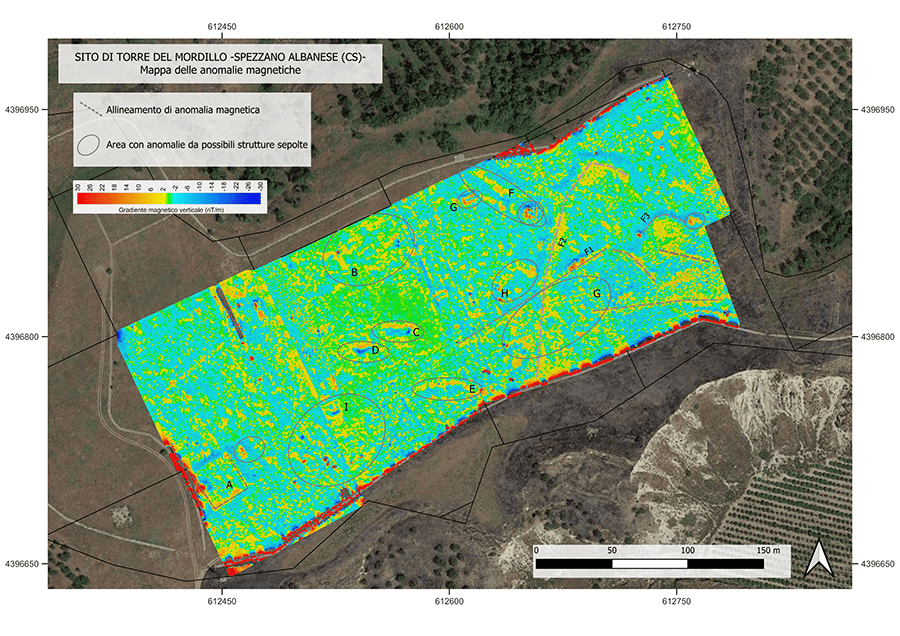
Integrated geophysical surveys using ground-penetrating radar, magnetometry, and electromagnetic methods allow researchers to map buried structures and assess their size and spatial distribution.
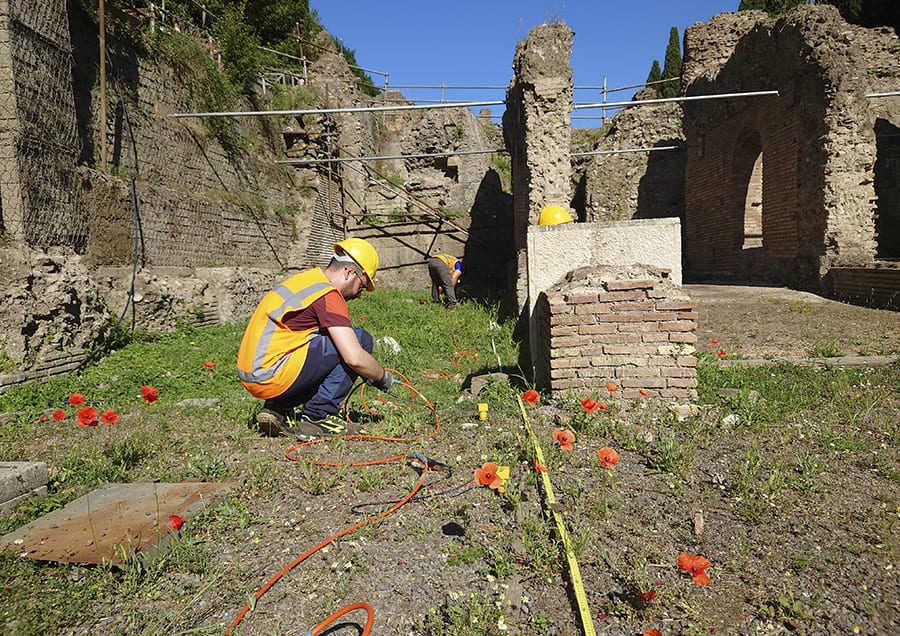
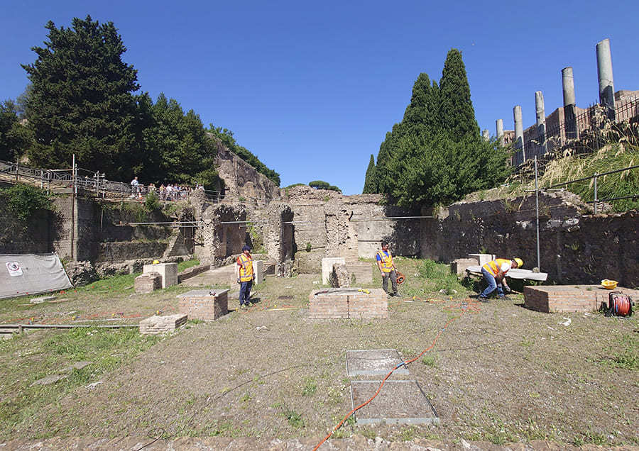
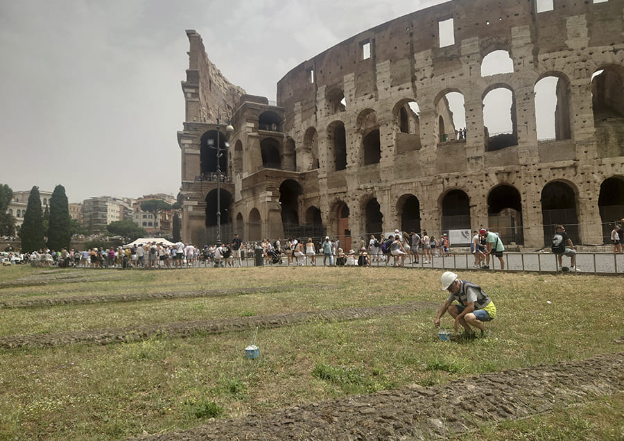
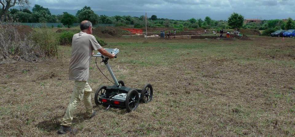
Field technicians during geoarchaeological surveys using on-site instrumentation. To this end, the following methods are employed:
- aerial photo and cartographic landscape analysis,
- aerial surveys using LiDAR, photogrammetry, and multispectral sensors,
- visual observations,
- soil and ceramic material analysis.
Integrated geophysical prospecting (including GPR, magnetometry, and electromagnetism) allows for the mapping of buried structures and the evaluation of their dimensions and spatial distribution. The validation of geophysical models can be conducted through archaeological coring, which provides:
- direct information on buried features,
- data on the depth of structures and stratigraphic horizons,
- opportunities for sampling of materials and soils.
Do you have a project?
Contact us for a consultation or for more information on our services
Contact us now