Electromagnetic Surveys for Subsurface Analysis
Subsurface investigations for archaeological and environmental research
Electromagnetic surveys involve the generation of an artificial electromagnetic pulse (primary field) which induces a secondary field within the ground.
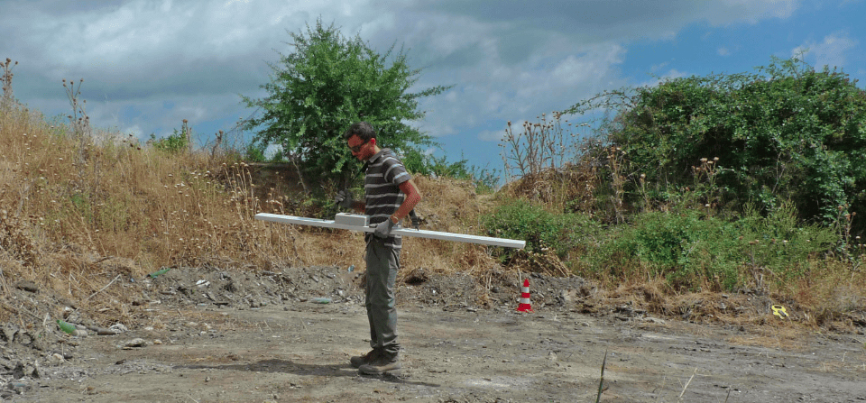
Measurements can be made in the time domain TEM (Transient Electromagnetic) or frequency domain FDEM (Frequency Domain Electromagnetic). In time-domain surveys, the primary field duration is very short, and the induced field in the soil is measured at specific time intervals following the interruption of the primary field. In frequency-domain surveys, one sensor generates the primary field while another measures the induced field at one or more frequencies (multifrequency surveys with the GEM2 electromagnetic sensor from Geophex).
Measurements are taken both in-phase and in quadrature with the primary field. Data processing reveals soil conductivity, helping to identify its nature and detect buried objects with different conductivity than the surrounding ground.
Frequency-domain electromagnetic surveys are mainly used in archaeological investigations, to detect buried metallic objects such as pipes and drums, for mine and UXO clearance, and for environmental assessments.
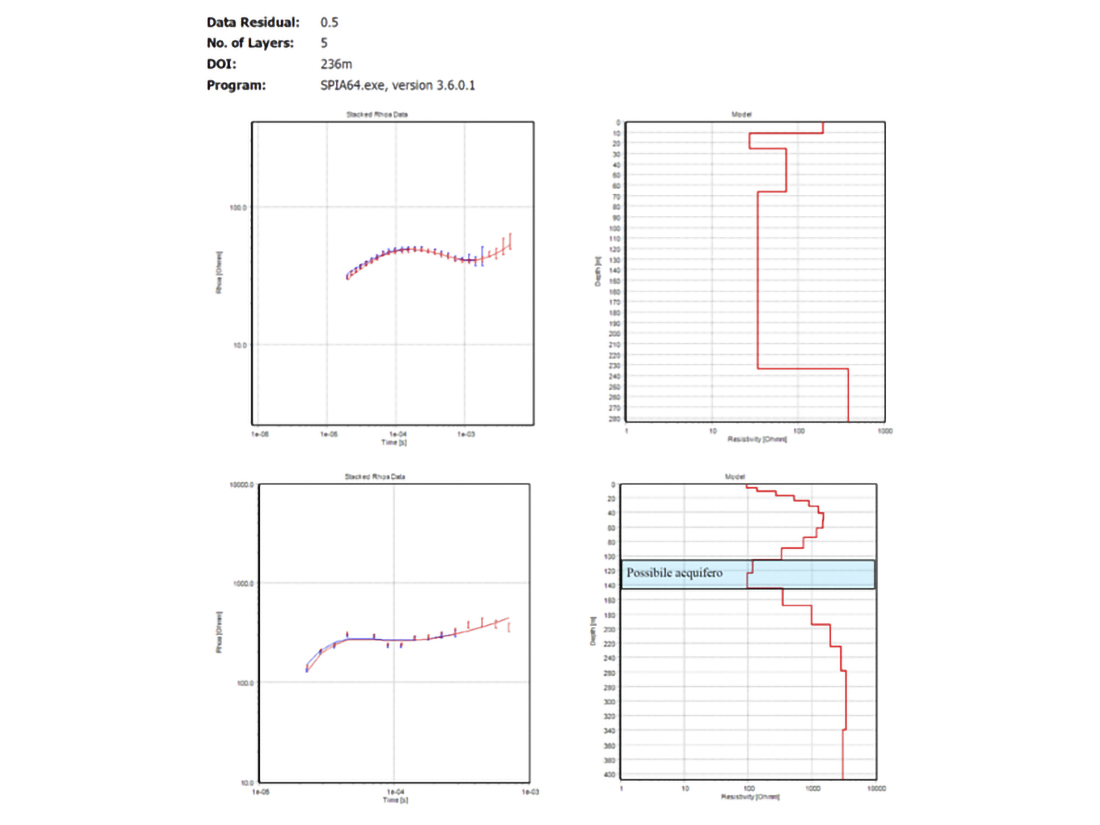
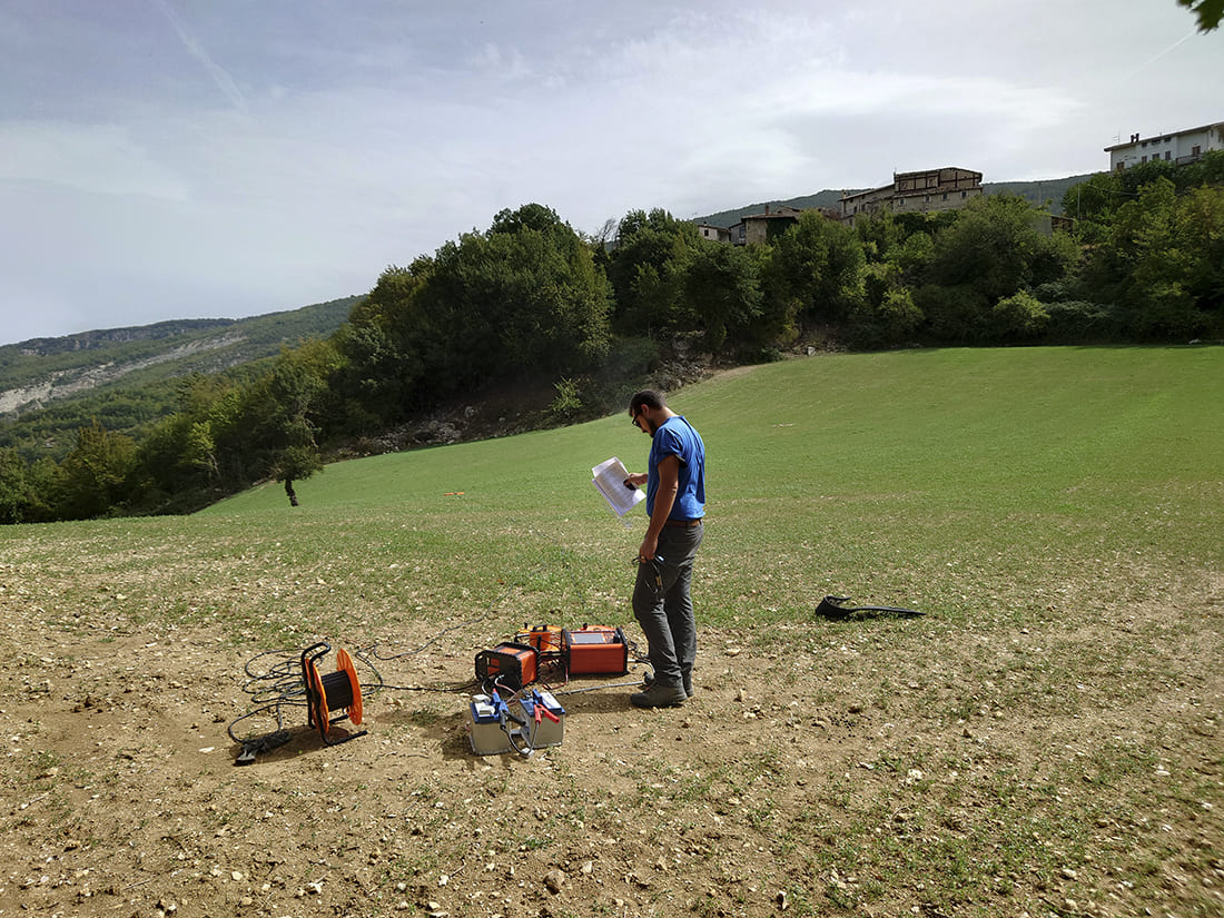
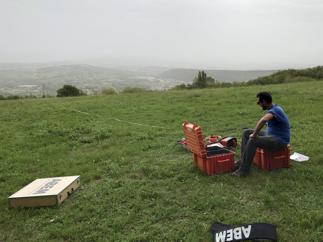
Time-domain electromagnetic surveys allow mapping of real resistivity distribution in the subsurface at medium to great depths (up to 400–500 m). A typical setup includes a transmitter connected to a copper wire loop (square, rectangular, or circular) laid on the ground and one or more receiving loops.
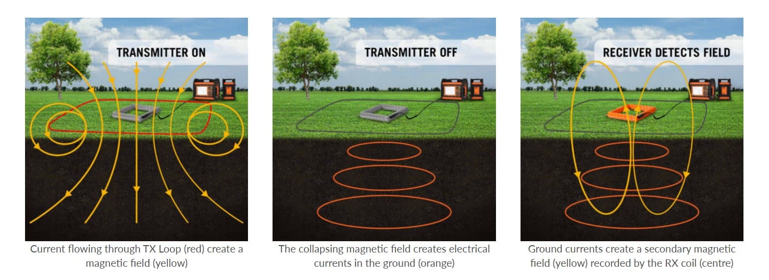
The size of the energizing loop determines the depth of investigation. The current delivered is a zero-phase square wave interrupted every quarter cycle. The pulse repetition rate ranges from 300 Hz (shallow surveys) to less than 0.10 Hz (deep surveys).
The method relies on the induction of eddy currents in the ground, which in turn generate a secondary magnetic field.
The decay of these currents and the secondary field intensity depends on the ground resistivity. Through inversion algorithms, it's possible to reconstruct resistivity variations with depth. Maximum depths of 400–600 m can be achieved using square loops with 150–200 m sides. Equipment used: Guidelinegeo (ABEM) WalkTEM2 with dual acquisition loop.
Do you have a project?
Contact us for a consultation or for more information on our services
Contact us now