Drone Surveys
From topographic surveys using photogrammetric and LiDAR methods to multispectral and geophysical techniques
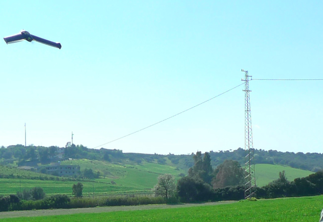
The drone surveying system consists of a gliding drone, the Ebee model by SenseFly, capable of automated flight management and aerial photogrammetric surveying via a pre-planned flight path.

Drones have now become an indispensable tool for a wide range of activities: from large-scale and detailed surveys using photogrammetric and LiDAR methods—also with multispectral sensors—with broad application potential (topography, archaeology, precision agriculture, monitoring). Our company has carried out numerous survey campaigns for both topographic and applied geophysics purposes (magnetometry and ground-penetrating radar for archaeological investigations, thermographic surveys, landslide movement monitoring, etc.).
The available UAV fleet, including both fixed-wing and multi-rotor platforms, allows for the planning of tailored surveys based on the specific objectives and the type of sensors required. This ensures the highest possible quality of the final product while also optimizing execution time. For large-scale topographic surveys, fixed-wing drones are employed due to their high productivity. For localized surveys requiring high levels of detail—such as architectural documentation or structural analysis—multi-rotor systems equipped with high-resolution cameras are used. Geophysical sensors are also deployed using platforms with high stability and payload capacity.
In the topographic field, the ability to integrate multiple point clouds into a single model enables the combined use of terrestrial laser scanning and drone-acquired data. This approach allows for the optimization of surveys by using terrestrial laser scanners for sub-vertical surfaces (such as rock faces or steep slopes) and fixed-wing drones for sub-horizontal surfaces.
Similarly, in geophysical surveys, the integration of ground-based measurements with data acquired from drone-mounted sensors enhances the accuracy and reliability of the final models, while also serving as a means of validation.
Do you have a project?
Contact us for a consultation or for more information on our services
Contact us now