3d Laser scanner brehole surveys
Technology aimed at recording measurements inside a borehole
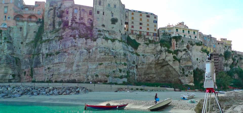
The 3D Laser Scanner represents the most advanced evolution of laser distance meters. The equipment we use (Riegl LMS-420i) relies on Time-of-Flight (TOF) technology, which calculates distances by measuring the time taken by the laser pulse from emission to its return after reflecting off the surface.

The Riegl LMS-420i model offers an extremely wide measurement range, allowing surface detection from as close as 2 meters up to approximately 800–1000 meters. The measurement grids can be incredibly dense, with points spaced just centimeters apart (point clouds).
A professional digital camera, fully integrated with the scanner, allows each scan to be associated with color digital images. This enables, in real time, assigning a true RGB color to each individual point acquired by the scanner. During post-processing, textured surfaces can be generated, overlaying the high-resolution photographic image on the laser-acquired point cloud.
Such highly detailed and rapid terrestrial surveys make our Laser Scanner a highly reliable tool for various applications, including:
- Architectural surveying and modeling of buildings and sites of cultural or archaeological interest;
- Surveying and modeling of industrial sites;
- Surveying and analysis of quarry fronts to calculate extractable volumes.
Additionally, the ability to operate in post-processing with increasingly advanced algorithms enables:
- the calculation of geomechanical properties of rock faces (analysis of discontinuity geometries);
- landslide system monitoring, with the option to integrate GPS and total station measurements;
- monitoring the evolution of coastlines and river dynamics.
Do you have a project?
Contact us for a consultation or for more information on our services
Contact us now