Geognostic Investigations for Ground Characterization
For the understanding of the lithological and geotechnical characteristics of the soil
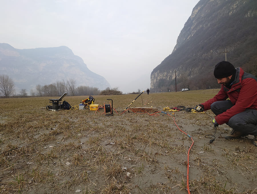
In the geognostic field, measurements of geophysical parameters allow for the spatial extension of data obtained directly through drilling. These measurements help define the geometry of lithological and geotechnical transitions, estimate the thickness of overburden on rigid soils, and more.
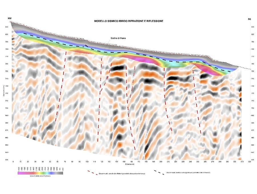
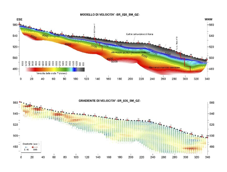
Seismic surveys, through the determination of the dynamic elastic properties of the soil and appropriate correlations with the geotechnical context, provide information on the compaction state of loose soils, the consistency of cohesive soils, and the fracture state of rocky masses.

The definition of subsurface stiffness profiles (Vs30), using recently developed techniques based on surface wave phase velocity dispersion analysis (MASW), is a valuable geognostic tool for identifying low-velocity layers. It also enables seismic site response estimation, either by applying standard response spectra or through analytical local response definition.
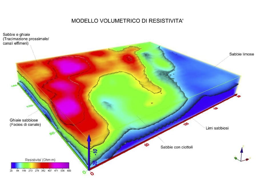
Geoelectric measurements, preferably using multi-electrode (tomographic) configurations, offer insight into the lithological characteristics of the ground and underground water circulation, which is especially important for landslide studies.


